

FAA Part 107/137 Certified · Alabama & Georgia
Precision From Above.
Results on the Ground.
FAA-certified drone services across the Alabama & Georgia corridor — from I-20 to I-85. Real estate, agriculture, thermal recovery, inspection, and land management.
What We Do
Seven Services. One Trusted Operator.
Every mission is flown with FAA-certified precision and delivered with results you can measure.

Aerial Real Estate Photography
Close listings faster with stunning aerial photography that makes every property stand out.

Agriculture Spraying
Cover more acres with less product — precision spraying that protects your yield and your bottom line.

Aerial Mapping
Accurate topographic and survey-grade maps delivered faster than traditional methods.
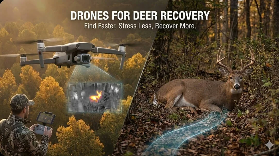
Thermal Animal Recovery
Find livestock before daybreak — thermal imaging that locates animals other methods miss.
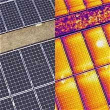
Thermal Inspection
Identify heat loss, moisture, and structural issues before they become costly repairs.

Land Management
Comprehensive aerial data for timber, conservation, and property planning decisions.

Construction Mapping
Track site progress, verify grading, and deliver survey-grade data to keep your build on schedule.
Why Stroud
Built for the Work. Certified for the Sky.
Part 107/137 licensed operators — every flight is legal, insured, and professionally executed.
Deep regional knowledge of the I-20 to I-85 corridor — terrain, regulations, and client needs.
Deliverables within 48 hours for most missions — because your project can't wait.
Service Area
Serving the Alabama & Georgia Corridor
Stroud Aerial Solutions operates across the Alabama and Georgia border region, from I-20 to I-85. Whether you're managing farmland in Chambers and surrounding counties, inspecting commercial property in Anniston to Auburn, or recovering livestock near LaGrange — we're your local aerial operator.
I-20 to I-85
Alabama · Georgia Corridor
Ready to see your land from a new perspective?
Tell us about your project and we'll put together a custom flight plan.